December 14, 2003
Nor'easter
General Storm Evolution |
Radar Animations |
Snowfall Total Maps |
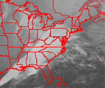
Satellite Imagery
Sunday December 14 | Monday December
15 |
| |
| Return Home |
| Return to Analysis Page |
| |
|
Boston
Winter Storm |
|
|
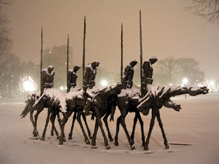
Boston Commons |
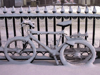
Boston Commons |
|
| |
Chase Target: Boston, Massachusetts
Flying Time: 4-5 hours
Miles Traveled: 1100+
Storm Rating  |
| |
| |
|
Chase Forecast: |
|
|
|
I knew that winters in the Northeast United States were more exciting than
where I grew up (Southern Illinois), but I had no idea just how exciting they could be. On
Sunday, December 14th, 2003, I would experience my first Nor'easter. A beautiful
wind driven snow would quickly change to wind driven rain, in the city of
Boston, Massachusetts. At the time of this storm I lived in Toronto,
Ontario. I was actually in Boston to see if I might be interested in
moving there. I was happy to experience a bit of the "hometown" weather
while visiting the city.
I was also able to experience just how difficult forecasting can be in the
Northeast. Apparently the snow/rain line can make or break you in a state
like Massachusetts. A few miles to the north and west of Boston the
precipitation remained all snow during the event. This, while Boston was
receiving flooding rainfall. I spent a lot of time in
Boston
Common, which was blanketed in heavy snow.
Boston
Common is a famous park that runs through the middle of the City of Boston.
If you have never visited it then I would highly recommend, if given a chance,
that you do so! Most of the photographs that you see on my
gallery page were taken from that location.
Although this was by no means a severe Nor'easter it was enough to wet my
appetite to experience more of these type of storms. Perhaps in the years
to come I will be able to do just that.
|
|
|
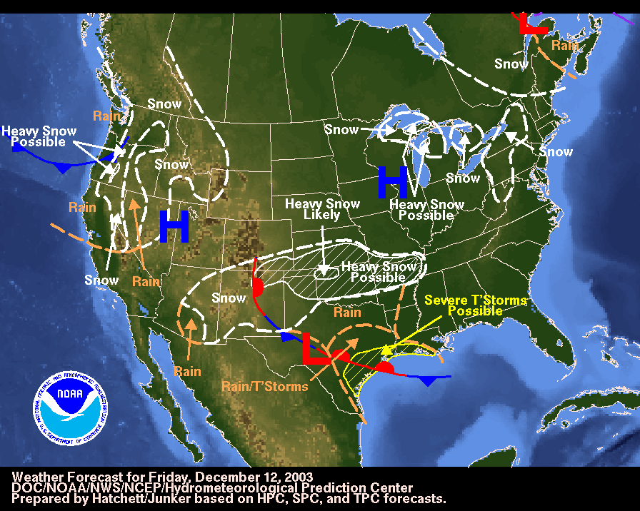
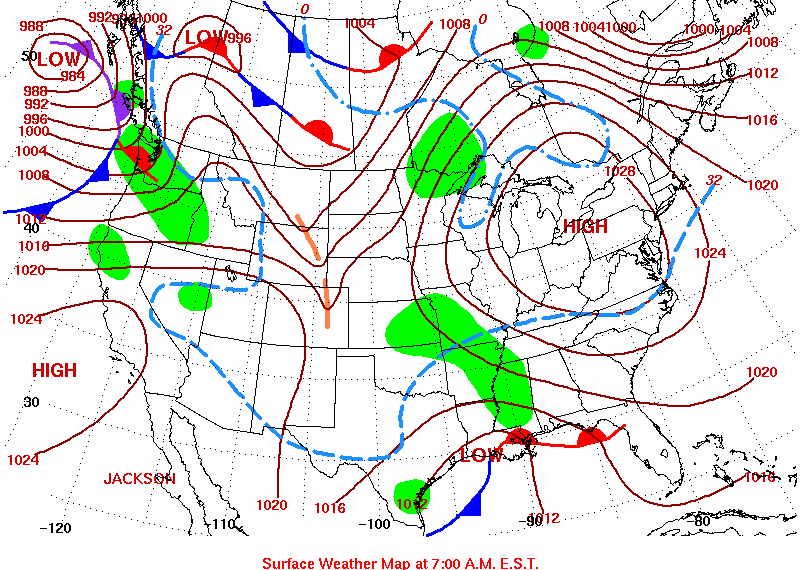
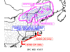
Forecast Map
December 12, 2003 |
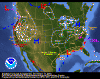
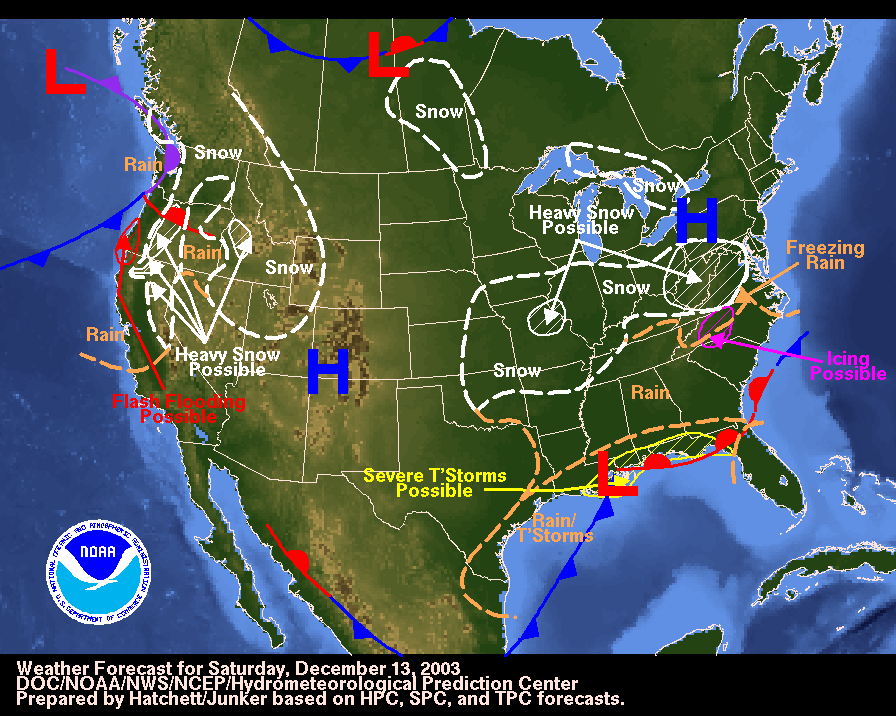
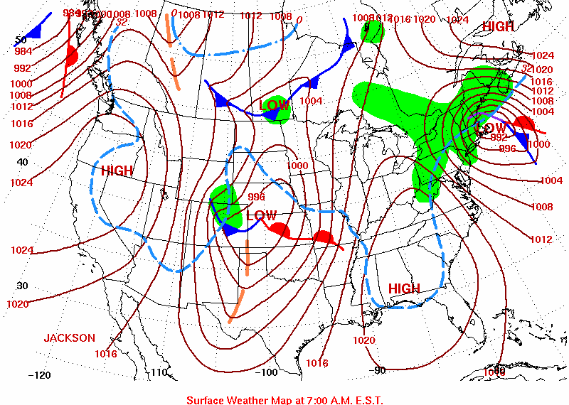
Forecast Map
December 13, 2003 |
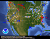
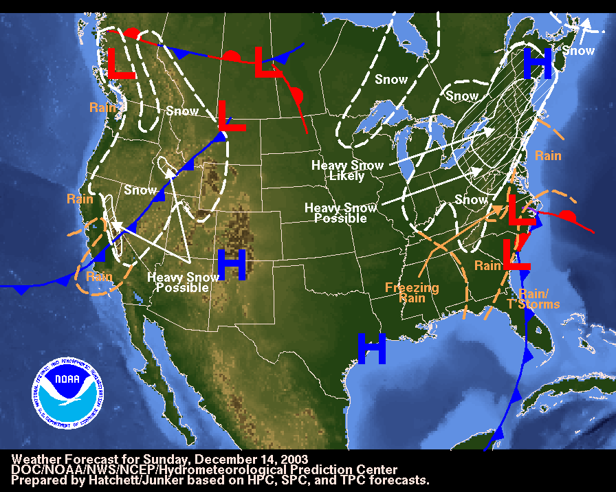
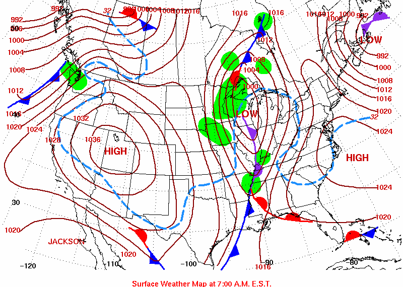
Forecast Map
December 14, 2003 |
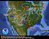
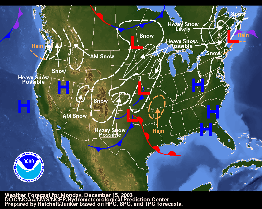
Forecast Map
December 15, 2003 |
|
|
|
Forecast Map
December 12, 2003 |
Forecast Map
December 13, 2003 |
Forecast Map
December 14, 2003 |
Forecast Map
December 15, 2003 |
|
|
|
|
Sunday, December 14th |
|
|
By Sunday morning snow was
already starting to move into portions of Pennsylvania. Meanwhile, back in
Boston, clouds were thickening throughout the morning and afternoon hours.
Those who love weather will know exactly what I mean when I say the clouds were
lowering. The sky grew darker and darker throughout the day.
Precipitation would hold off, however, until almost evening. Once the snow
did begin, though, it would fall heavily for a number of hours. Snowfall
rates of 1-3 inches per hour were reported across portions of Massachusetts, as
the leading edge of the precipitation moved in from the south and west.
The snow would be wet, since the temperatures were marginal to begin with.
This made Boston Common come to life. I was amazed at how many people
actually came out to enjoy the snow. Many people were throwing snowballs,
playing games, and just walking around with umbrellas overhead. I suppose New
Englanders do know how to enjoy their snow! The city was painted white!
Unfortunately, and those who live in Boston will understand this, the snow
did not last long. Warmer temperatures were ushered in by easterly winds.
This changed the beautiful snow to a sloppy rain. Heavy rain fell later in
the evening. The rain, coupled with the melting snow, caused water to
accumulate on many streets. Small stream advisories were issued for a
number of locations.
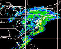
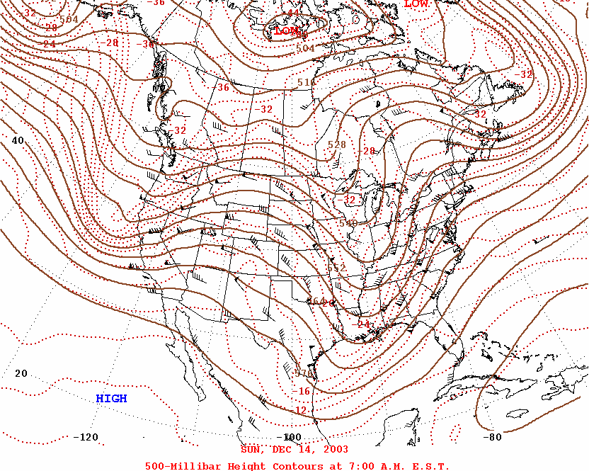
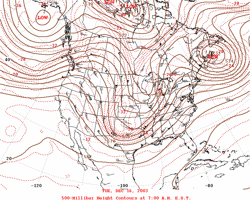
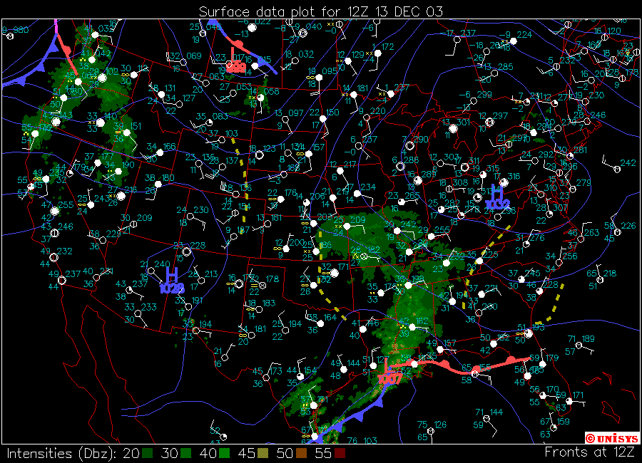
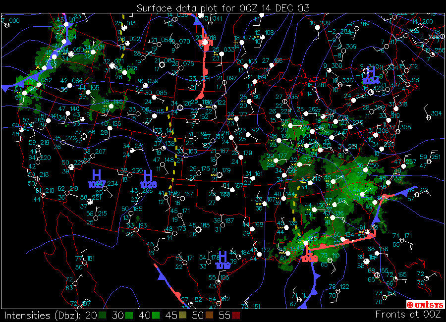
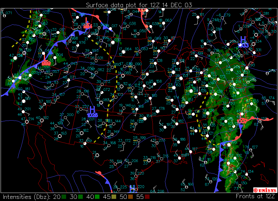
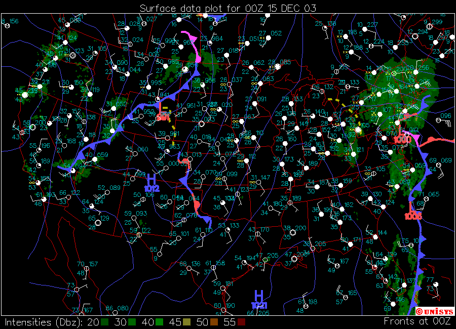
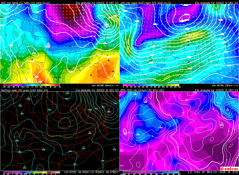
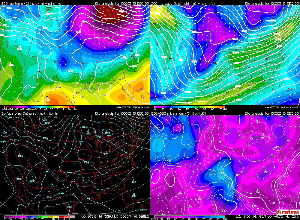
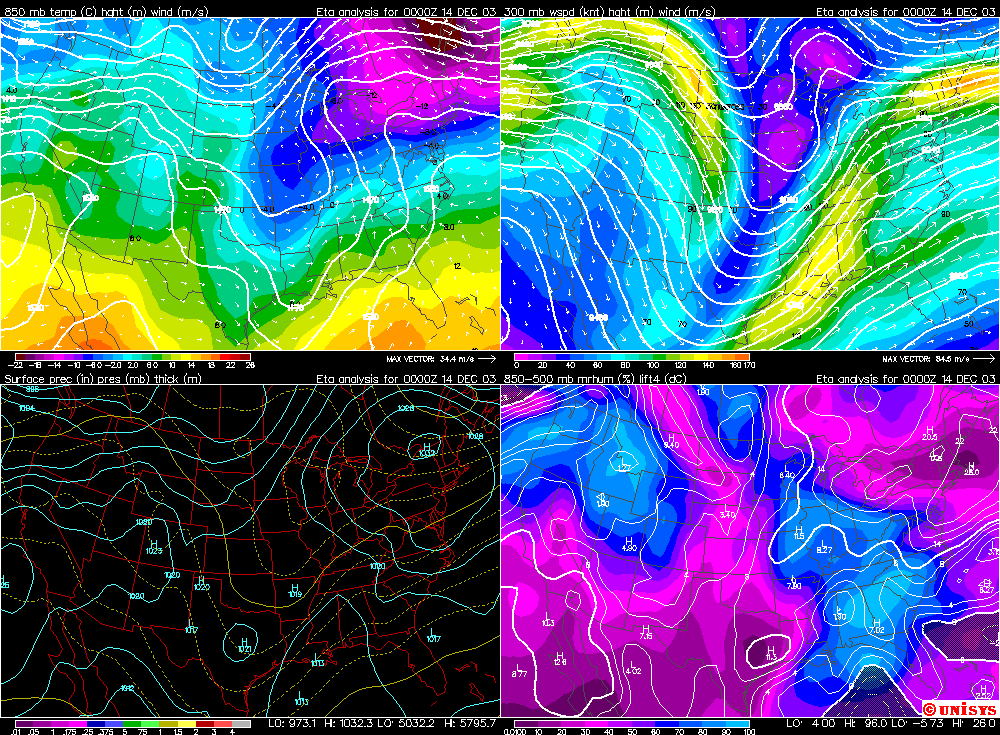
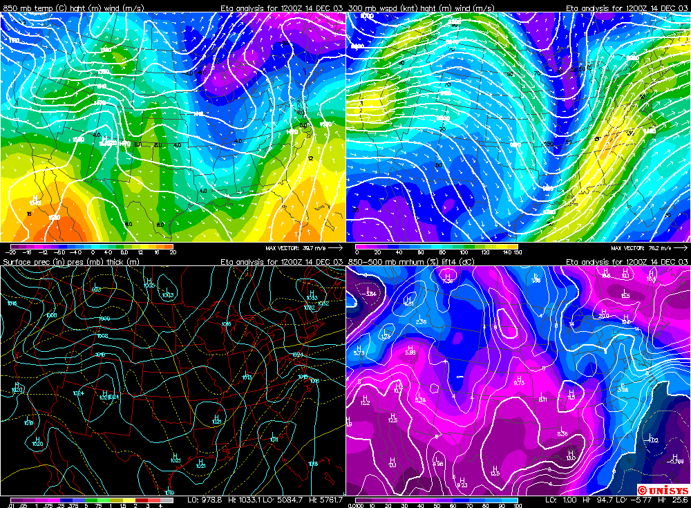
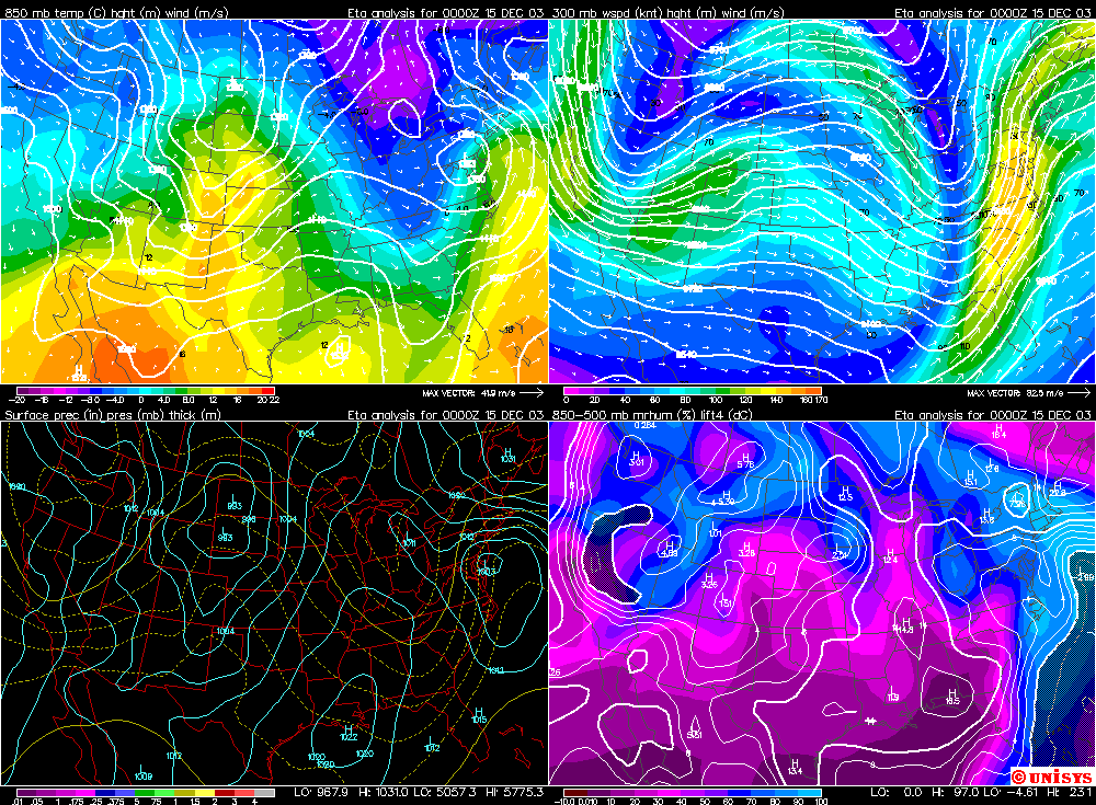
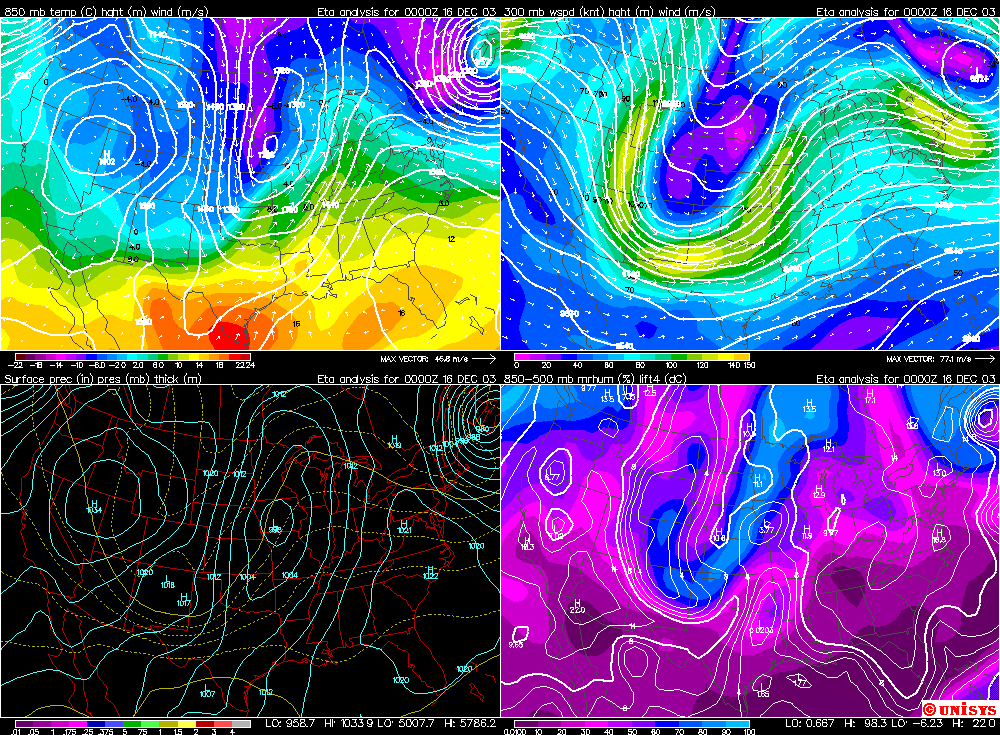
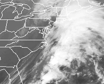
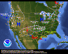
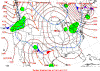
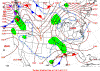
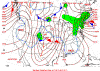
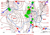
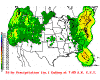
The radar, satellite, and weather map images above and below will show you the intense
area of low pressure as it tracked up the Eastern Seaboard. The low would
eventually deepen to below 990 millibars as it reached the Long Island Area. |
| |
| |
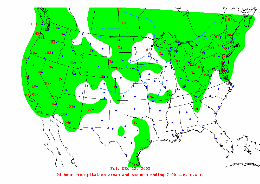
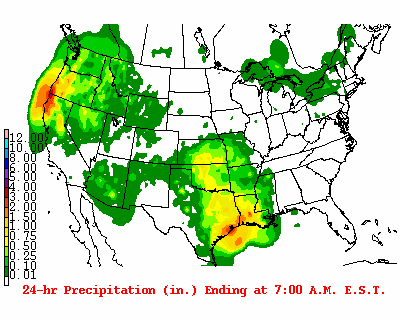
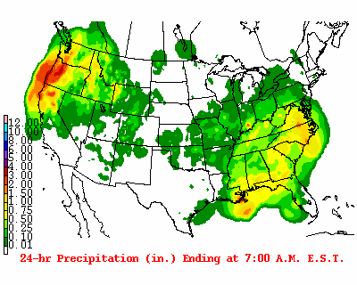
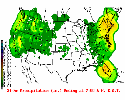
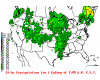
December 12th Precip Total Amounts |
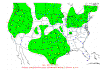
December 13th Precip Total Amounts |
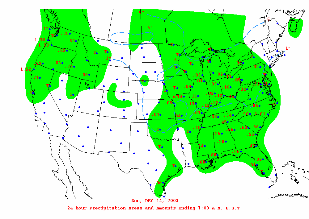
December 14th Precip Total Amounts |
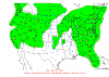
December 15th Precip Total Amounts |
|
| |
| |

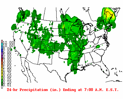
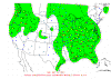
24 Hour Precip Total Ending
7 a.m.
December 13th |

24 Hour Precip Total Ending
7 a.m.
December 14th |
24 Hour Precip Total Ending
7 a.m.
December 15th |
24 Hour Precip Total Ending
7 a.m.
December 16th |
|
| |
|
|
|
|
|
|
| |
| |
|
KBOX METAR Dec
14 |
KBOX METAR Dec
15 |
|
Graphic Meteogram and
Decoded Metar Boston - Dec 14/15 |
| |
| 12/12 -
12/15 Boston, Mass, NWS Area Forecast Discussions |
| 12/12 -
12/15 Upton, New York, NWS Area Forecast Discussion |
| 12/12 -
12/15 Albany, New York, NWS Area Forecast Discussion |
| |
| |
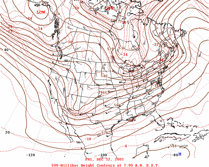
| 500 mb Maps.
December 12th through December 16th |
| |
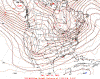
500mb Map
December 12th |
500mb Map
December 13th |
500mb Map
December 14th |
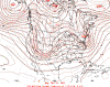
500mb Map
December 15th |
|
| |
500mb Map
December 16th |
|
| |
| |
|
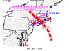
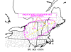
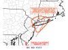
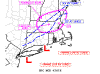
Storm Prediction Center Mesoscale Discussions |
| December
14th |
| |
|
|
| |
|
|
| |
| |
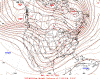
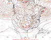
| Surface Maps
-
December 13th through December 15th |
| |

12/13/03 00z Surface Map |

12/13/03 12z Surface Map |

12/14/03 00z Surface Map |

12/14/03 12z Surface Map |
|
| |

12/15/03 00z Surface Map |
|
| |
| |
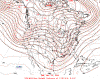
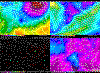
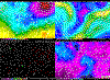
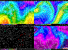
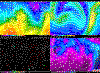
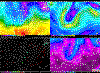
| Upper Level
Four Panel Maps.
December 12th through December 16th |
| |
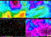
12/12/03 00z
4 Panel
Winter Maps |
12/12/03 12z
4 Panel
Winter Maps |
12/13/03 00z
4 Panel
Winter Maps |
12/13/03 12z
4 Panel
Winter Maps |
|
| |

12/14/03 00z
4 Panel
Winter Maps |
12/14/03 12z
4 Panel
Winter Maps |
12/15/03 00z
4 Panel
Winter Maps |
12/16/03 00z
4 Panel
Winter Maps |
|
| |
| |
|
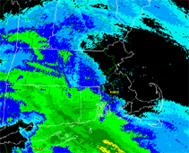
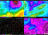
Satellite Images --
NOAA |
| |
|
|
| |
|
|
|
|
|
Top of Page |
|
|
|
General Storm Evolution | Daily Highlights |
Snowfall Total Maps |
Satellite Imagery |
| |
|
Back to Weather Photography Home Page |
| |
|
Page design inspired by cimss.ssec.wisc.edu |